Palawan Philippines

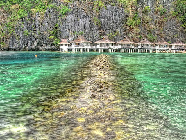
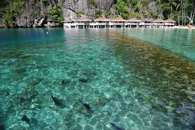
Palawan is an island province of the Philippines located in the MIMAROPA region. Its capital is Puerto Princesa City, and it is the largest province in the country in terms of total area of jurisdiction. The islands of Palawan stretch from Mindoro in the northeast to Borneo in the southwest. It lies between the South China Sea and the Sulu Sea. The province is named after its largest island, Palawan Island, measuring 450 kilometres (280 mi) long and 50 kilometres (31 mi) wide.

image
Palawan Philippines

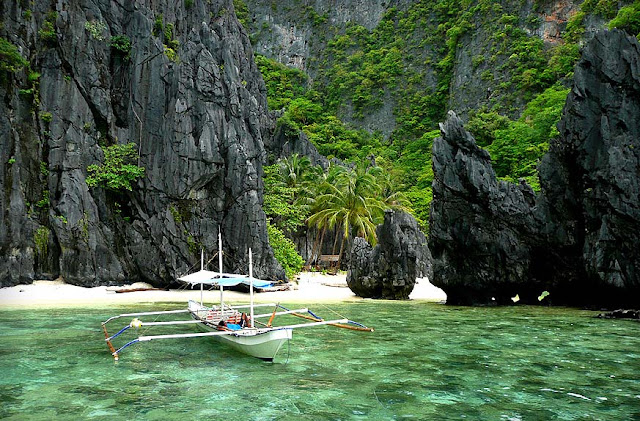
Palawan is composed of the long and narrow Palawan Island, plus a number of other smaller islands surrounding the main island. The Calamianes Group of Islands, to the northwest consists of Busuanga Island, Culion Island, and Coron Island. Durangan Island almost touches the westernmost part of Palawan Island, while Balabac Island is located off the southern tip, separated from Borneo by the Balabac Strait. In addition, Palawan covers the Cuyo Islands in the Sulu Sea. The disputed Spratly Islands, located a few hundred kilometres to the west is considered part of Palawan by the Philippines, and is locally called the Kalayaan Group of Islands.

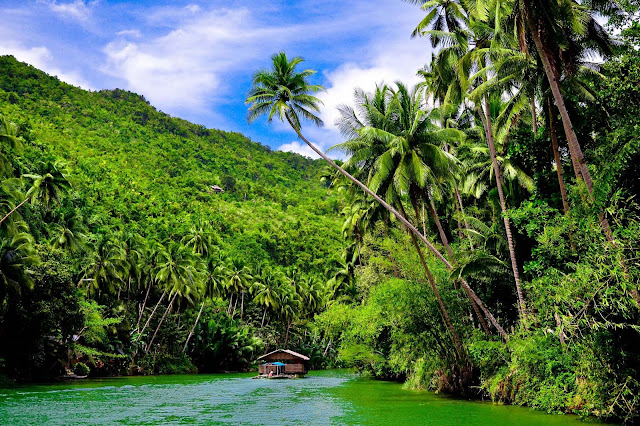
Palawan's almost 2,000 kilometres (1,200 mi) of irregular coastline are dotted with roughly 1,780 islands and islets, rocky coves, and sugar-white sandy beaches. It also harbors a vast stretch of virgin forests that carpet its chain of mountain ranges. The mountain heights average 3,500 feet (1,100 m) in altitude, with the highest peak rising to 6,843 feet (2,086 m) at Mount Mantalingahan. The vast mountain areas are the source of valuable timber. The terrain is a mix of coastal plain, craggy foothills, valley deltas, and heavy forest interspersed with riverine arteries that serve as irrigation.

image

image

image

image

image

image

image

image

image

image

image

image

image

image

image

image

image

image

image

image

Comments

Popular posts from this blog

Nabatean City of Petra

Petra is a historical and archaeological city in the Jordanian governorate of Ma'an that is famous for its rock cut architecture and water conduits system. Established sometime around the 6th century BC as the capital city of the Nabataeans, it is a symbol of Jordan as well as its most visited tourist attraction. It lies on the slope of Mount Hor in a basin among the mountains which form the eastern flank of Arabah (Wadi Araba), the large valley running from the Dead Sea to the Gulf of Aqaba. Petra has been a UNESCO World Heritage Site since 1985. Petra

Karstic Peaks Guilin

Yangshuo is located in Yangshuo Town. Surrounded by karst peaks and bordered on one side by the Li River. It is easily accessible by bus or by boat from nearby Guilin. Over the years, it has become popular with foreign backpackers. Visitors to Yangshuo can swim in the Li River or the cleaner Yu Long (Dragon River), climb one of many nearby karst peaks, hire a bicycle for a cycling trip through the karst scenery, arrange a sightseeing trip on the Li River by bamboo raft or cruise boat, or visit a number of local cave systems, including a butterfly cave. Karstic Peaks Guilin

Garajonay National Park

Laurel forest covers some 70% of this park, situated in the middle of the island of La Gomera in the Canary Islands archipelago. The presence of springs and numerous streams assures lush vegetation resembling that of the Tertiary, which, due to climatic changes, has largely disappeared from southern Europe. La Gomera lies to the west of Tenerife, and is one of seven islands that make up the Canary Islands archipelago off the north-west coast of Africa in the Atlantic. The island is accessible by ferry from Tenerife. The park can be reached by road from the island's major towns and villages. Garajonay National Park