Jiuzhaigou Valley Scenic and Historic Interest Area
Peble Jeine
Stretching over 72,000 ha in the northern part of Sichuan Province, the jagged Jiuzhaigou valley reaches a height of more than 4,800 m, thus comprising a series of diverse forest ecosystems. Its superb landscapes are particularly interesting for their series of narrow conic karst land forms and spectacular waterfalls. Some 140 bird species also inhabit the valley, as well as a number of endangered plant and animal species, including the giant panda and the Sichuan takin.
 |
| Jiuzhaigou Valley Scenic and Historic Interest Area |
The valley lies in the southern part of the Min Shan Range, approximately 330 km from the provincial capital of Chengdu and includes the catchment areas of the Shizheng, Rize and Zechawa gullies, which join Jiuzhaigou Valley.
Lying on the edge of the diverging belt between the Qinghai-Tibet Plate and the Yangtze Plate, there are major fault lines running through the site: earthquakes are not uncommon and have been a major influence on the geological landscape. Of greater geological interest, are the high-altitude karst landforms that have been strongly influenced by glacial, hydrological and tectonic activity.
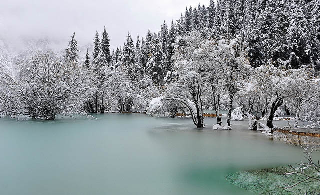
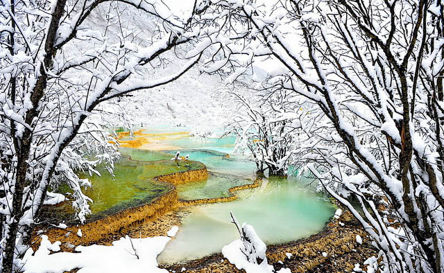
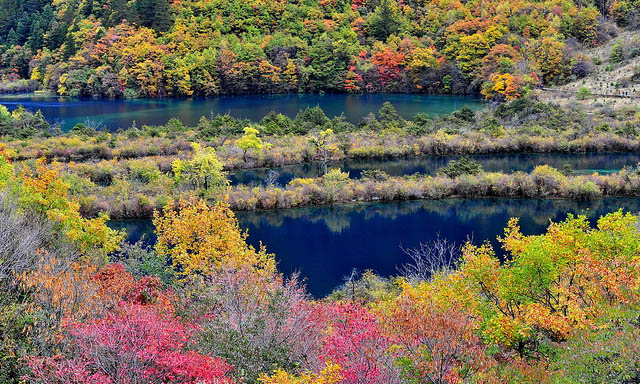
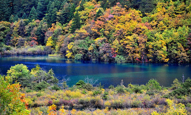
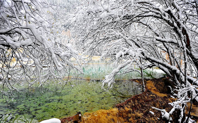
The best known features are the large number of lakes in the area: many are classic ribbon lakes, at the base of glacially formed valleys, which have been dammed naturally, for example behind rock falls from avalanches. Processes of carbonate deposition are responsible for the cementation and stabilization of these dams. A number of the lakes are bounded on the upstream and downstream sides by calcareous tufa dykes and shoals. In two places, there are a stepped series of lakes, like terraces separated by these tufa dykes. These sites, Shuzheng Lakes and Nuorilang Lakes, with 19 and 18 lakes respectively, can be compared with the travertine pools of Huanglong Scenic Area to the south. They are less well-developed geologically but are much larger in size.
Also of note are a number of large and spectacular waterfalls, including Xionguashai (Panda Lake) Fall and the Zhengzhutan (Pearl Shoal) Fall. This latter fall lies at the downstream end of the Zhengshutan, which is the larger of two calcareous tufa shoals in the site.
The hydrology of the site is dominated by three valleys, Rize and Zechawa gullies flowing from the south and meeting at the centre of the site where they form the Shuzheng Gully.
Over most of the site the soils express their limestone parent rock, to a greater or lesser degree, while there is some variance in colour and texture. They are all neutral to slightly alkali. On the higher mountain slopes, the soils are poorly developed.
The rich flora and wide altitudinal range undoubtedly contribute to a highly diverse and important range of fauna. There are no records of detailed surveys or inventories, but 10 mammal's species are listed including notable species such as giant panda, golden snub-nosed monkey, lesser panda, Szechwan takin, mainland serow, common goral and Thorold's deer.
There have been 141 species of bird recorded from the site. Some 13 of these are listed including Chinese monal, snowy-cheeked laughing thrush and a subspecies of Tengmalm's owl, which is endemic to the region.










Enter your first comment!